Ocean Data For Our Ocean Future
Data access for Canada’s:
- Ocean Health
- Ocean People
- Ocean Economy
The Canadian Integrated Ocean Observing System (CIOOS) is Canada’s nucleus for integrated ocean science and observing activities.
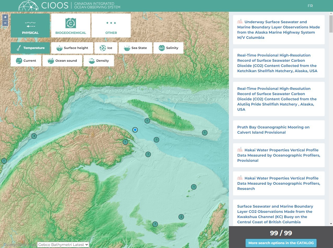
CIOOS engages locally, connects regionally, and coordinates nationally to elevate Canada’s ocean monitoring to the global stage. These partnerships generate information and facilitate place-based solutions to advance our understanding of the ocean. With CIOOS, users can now discover, access, and visualize high-quality data through our online platform. By navigating these vast waters together, CIOOS helps prepare for Canada’s future by unlocking the true potential of our ocean, coasts, and waterways.
What discoveries can be made if we just connect the dots?
Want to get involved with CIOOS? Find out how. Click here to learn more
CIOOS Data Tools
Who Should Use CIOOS
 CIOOS supports your research efforts from planning through archiving with its open data platform. Discover existing datasets, plan how your work can fill a niche, and contribute to the state of ocean knowledge as results come in. CIOOS helps you meet open data requirements of funding agencies through data management, data preservation, and metadata cataloguing. Gain recognition for your efforts and collaborate with others in your region and around the world.
 access to all Canadians. Contributing to our integrated approach will help you reach beyond discipline specific data initiatives and government channels, improve transparency for your stakeholders, and support essential decisions for ocean management.
 meaningfully with coastal Indigenous communities to learn how we may support stewardship efforts. We hope to explore the potential for collaboration and partnerships to achieve our shared ocean observing goals.
 needs. Our platform can save time and money by helping you discover relevant coastal and ocean monitoring initiatives and develop cross-sectoral partnerships. Collaborate with others and demonstrate your commitment to social corporate responsibility by sharing your available ocean observing resources with all Canadians.
 CIOOS provides access to common data sources that facilitate greater transparency, evidence-based decision-making, and improve your organization’s management efforts. Join the open data movement that supports integrated approaches to coastal and ocean management by contributing to CIOOS.
 recreational ocean users from swimmers, to kayakers and fishers can use our online platform to plan their day on the water. Explore CIOOS’ tools and visualizations to learn about Canada’s coasts and oceans. As we come together, everyone benefits.
Regional Associations support diverse ocean users
CIOOS benefits from a national infrastructure for data discovery and access, but draws its strength by being regionally specific. To better serve our diverse country, each CIOOS Regional Association ensures that data meets local ocean observing needs and complies with national standards for global integration.
CIOOS Pacific
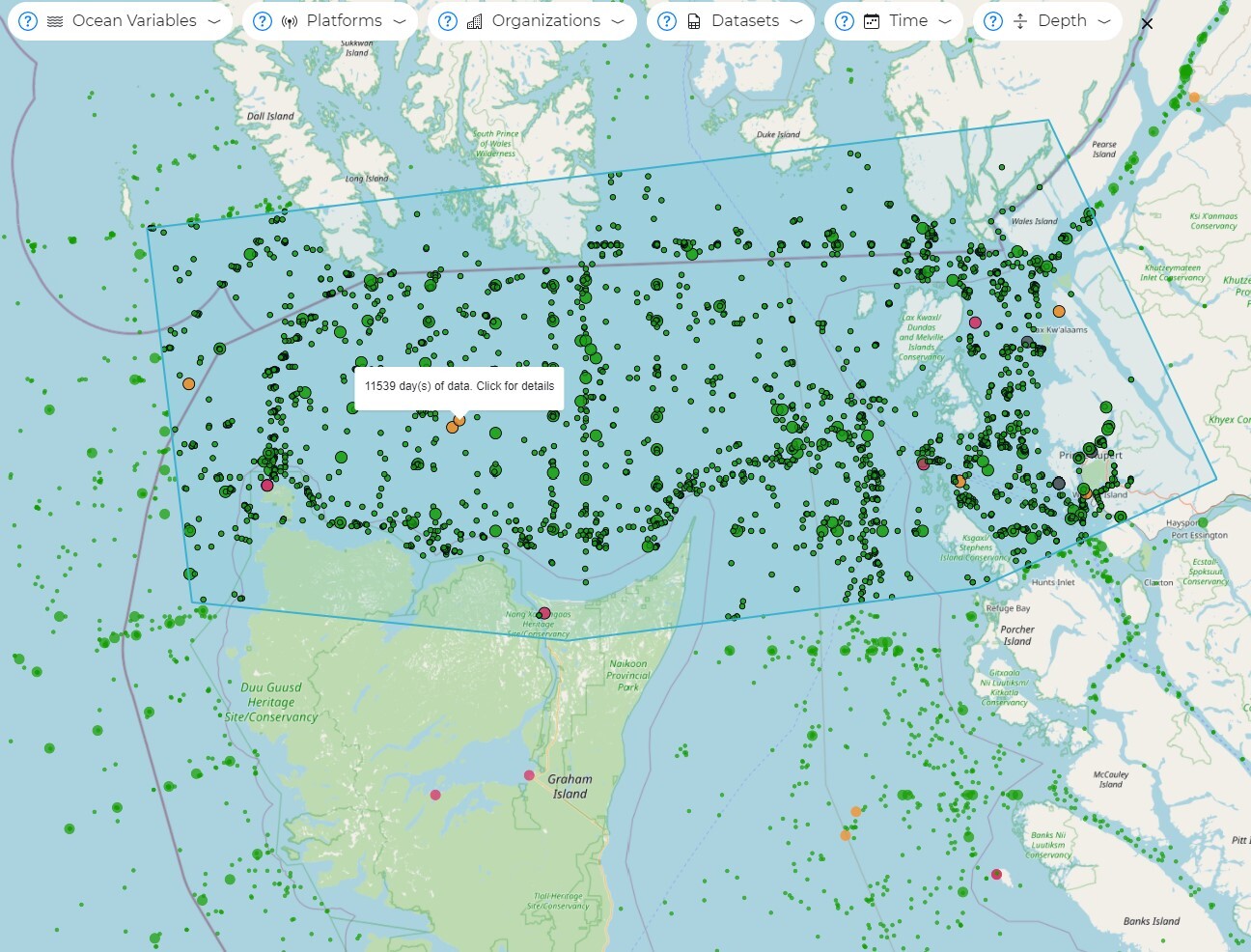
CIOOS Pacific integrates data from Canada’s west coast, from Dixon Entrance to the Strait of Juan de Fuca.
St. Lawrence Global Observatory
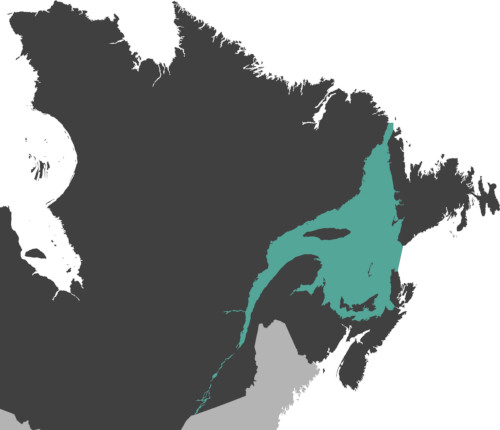
SLGO integrates data from the St. Lawrence, from the Great Lakes to the Gulf.
CIOOS Atlantic
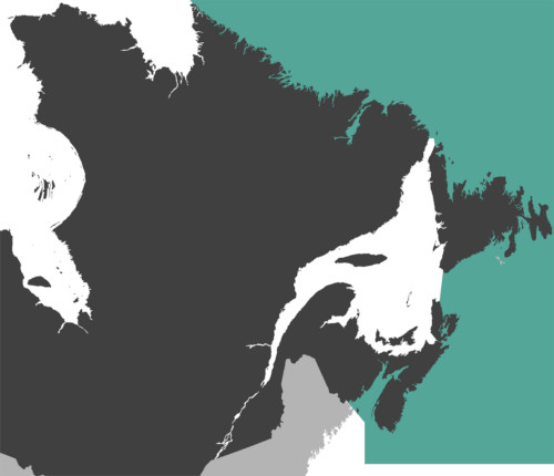
CIOOS Atlantic integrates data from Canada’s east coast, from Labrador to Bay of Fundy.
Latest News


